Grass Fire Danger Expected to Ease Friday
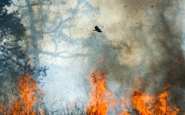
(Radio Iowa) Outdoor burning is once again not recommended again today (Thursday) across much of the state. National Weather Service Meteorologist, Mike Fowle, says the combination of strong southwest winds and relative humidity values near or below 25 continue to make grass fires a concern.
“That elevated fire threat, very high fire danger, is going to continue right through the day on Thursday,” he says. A majority of the state has been in the very high to extreme risk area for grass fires all week. Fowle says things should change as we head to the weekend.
“It looks like we are going to see an approaching cold front on Friday so we’re going to see gradually a bit of an increase in moisture so the humidity levels are going to come up,” Fowle says. “And also a little bit less wind on on Friday.” There’s even a chance for some rain.
“Late in the day, there is a chance of seeing a few showers or thunderstorms — mainly across far western sections of Iowa — so that’s the good news. We are expecting a little bit of moisture, and then we’re expecting again at least scattered activity Friday night and then right into the weekend,” he says. Several counties in the northern third of Iowa have been in the extreme danger area, with the counties in the middle of the state and on the outer edges listed at very high for fire danger. The remaining counties in south-central Iowa are listed as a high to moderate fire risk.